How We Use Google Maps Offline in Remote Lapland and Iceland
A Rovaniemi-based couple shares the exact workflow for downloading, navigating, and surviving without signal in Finland’s Arctic and Iceland’s remote highland roads — no data plan required.
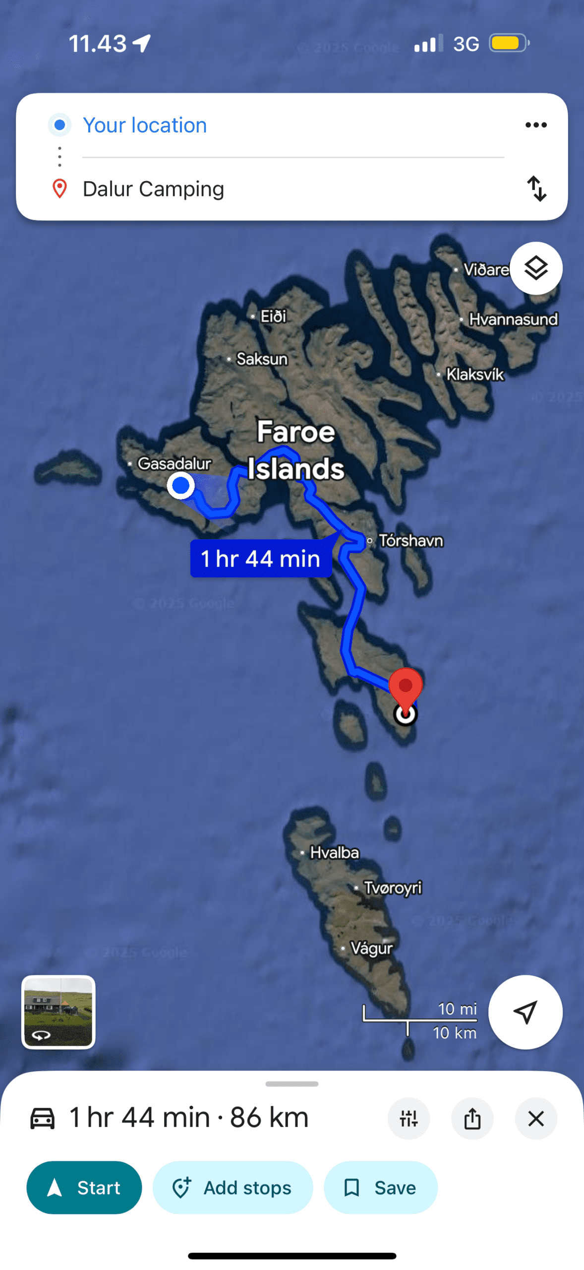
We live in Rovaniemi, 830 km north of Helsinki, and we drive regularly into terrain where mobile signal disappears for hours at a stretch. We’ve also road-tripped Iceland twice — once in winter on the Ring Road and once on a detour into the Westfjords — where dead zones are not the exception but the rule. After watching friends miss a turn onto an unmarked gravel track and spend an hour doubling back, we started taking offline maps very seriously.
This is not a “10 apps you should download” roundup. It is a practical, firsthand workflow for using Google Maps offline in remote conditions, with the specific workarounds we use in Lapland and Iceland. We’ll also cover where Google Maps falls short — and what we use instead when it does.
Yes, Google Maps offline travel works well in Lapland and Iceland for main roads — download the map area before you leave Wi-Fi, set your destination while online, then let it navigate without data. For F-roads (Iceland’s highland tracks) and deep Lapland wilderness, supplement with Maps.me or a dedicated GPS unit, as Google’s offline coverage of unmarked tracks is incomplete.
- How to download Google Maps offline — step by step
- Setting up your route before you lose signal
- Our Lapland & Iceland offline map checklist
- Where Google Maps offline fails (and what to use instead)
- Offline maps vs eSIM data — which to prioritise
- Mistakes we’ve made navigating offline
- Frequently asked questions
- A final word from Rovaniemi
How to download Google Maps offline — step by step
The process takes about five minutes and a reasonable chunk of storage. The key rule: do it on Wi-Fi before you leave your accommodation. Trying to download a region on a slow mobile connection at a petrol station outside Inari will not end well.
Downloading a region on iOS or Android
- Open Google Maps and search for the area you want — e.g. “Lapland, Finland” or “Iceland.”
- Tap the name or the bottom card, then tap the three-dot menu (…) in the top right.
- Select Download offline map. A blue box appears; adjust it to cover your full driving area.
- Tap Download. Finland’s northernmost region is roughly 900 MB; Iceland fits in about 1.2 GB.
- The map appears under Offline maps (your profile icon → Offline maps) and expires after 30 days unless you update it.
Storage and update tips
- Clear old cached maps before downloading — Google caps total offline storage at around 4 GB.
- Download overlapping regions if your route crosses a country boundary (e.g. Norway–Finland border near Kilpisjärvi).
- Set offline maps to auto-update on Wi-Fi only so they don’t eat your mobile data in the background.
- On Android, you can move offline maps to an SD card — useful if your phone storage is tight.
Setting up your route before you lose signal
Downloading the map is only half the job. Google Maps offline navigation has one important limitation: it cannot recalculate a route from scratch without data. If you miss a turn and need a full reroute to a new destination, you may be stuck. The fix is simple: set your destination and start navigating while you still have a connection, even a weak one.
Our pre-departure routine
- Step 1 — While at your accommodation on Wi-Fi: confirm the offline region is downloaded and not expired.
- Step 2 — Enter your destination and tap “Start” before leaving the car park or town. The route is cached to your device.
- Step 3 — Leave the app open. Switching to another app and back sometimes forces a data check. Keep Maps in the foreground on long remote drives.
- Step 4 — Use Airplane Mode to test. Flip to Airplane Mode while still in town, wait 30 seconds, and confirm the map tiles load and your position dot moves. If it doesn’t move, GPS may need a moment to lock in the open air.
One thing that trips people up: Google Maps still uses GPS (which doesn’t need mobile data) for your position dot. What it needs data for is loading new map tiles, searching, and rerouting. Once a route is active and tiles are cached, you can drive for hours with no signal and it will navigate perfectly.
Related read Planning to drive Iceland’s Ring Road? Our Iceland Ring Road in 7 Days guide covers road conditions, highland F-road rules, and what navigation tools we actually relied on.
Our Lapland & Iceland offline map checklist
We run through this list the evening before any remote drive. Print it, screenshot it, or just memorise the six steps.
- Region downloaded & not expired — check the expiry date under Profile → Offline maps. Renew if under 5 days.
- Destination entered while on Wi-Fi — tap “Start” before leaving network coverage, even if you won’t drive for another hour.
- Battery > 80% or power bank packed — GPS is a battery drain; cold temperatures make it worse. A 20,000 mAh power bank is standard kit for us.
- Screen-on timeout extended — set your phone to “Never” (or use a car mount with always-on) so the nav doesn’t lock mid-route.
- Backup app ready — Maps.me or HERE WeGo downloaded for the same region, so you have a fallback for unmarked tracks.
- Screenshots of critical junctions saved — for the 2–3 turns that matter most (e.g. turning onto a highland F-road), screenshot the map tile in advance.
- Offline map area boundary confirmed — zoom out to check the blue download box covers your full route, including any detours you might take.
- Phone GPS tested — step outside and confirm the blue dot moves before you rely on it in a whiteout 200 km from the nearest town.
Get our best travel tips in your inbox
Monthly stories from Rovaniemi — Arctic tips, packing lists, and the places we keep coming back to.
Where Google Maps offline fails — and what to use instead
We want to be honest about the limits, because they matter more in remote Iceland and Lapland than anywhere else.
Where offline Google Maps struggles
- Iceland F-roads (highland tracks). Google Maps often does not show F-roads at all, or marks them as seasonal without indicating current passability. Use Road.is (Iceland’s official road status site) and supplement with Maps.me, which has far better highland track coverage.
- Deep Lapland forest roads. Unmarked logging tracks, particularly in the area north of Sodankylä and east toward Russia, sometimes do not appear in Google’s offline data. We have navigated 18 km on a track that Google’s offline layer simply did not show.
- Rerouting from scratch. If you miss a junction and need a completely new route to a different destination, offline Google Maps cannot calculate it. You need either a cached route or a data connection.
- Points of interest (POI) search. Searching for a petrol station or cabin by name requires data. Screenshot or note the GPS coordinates of key stops before you go.
- Real-time conditions. No traffic, no road closures, no weather overlays offline. In Iceland in winter, a road can close in under an hour due to blizzard. Always check road.is before entering remote areas.
What we use instead (or alongside)
- Maps.me — fully offline OpenStreetMap data, excellent for hiking paths and remote tracks. Free.
- HERE WeGo — offline turn-by-turn with rerouting, better for driving than Maps.me. Free country downloads.
- Garmin inReach Mini — satellite communicator with basic GPS, no smartphone required. Worth it if you’re going off-road in the Icelandic highlands or deep Lapland.
- Paper maps. Yes, really. We carry a 1:250,000 Retkikartta (Finnish Hiking Map) for our region of Lapland. It has saved us once.
Offline maps vs eSIM data — which to prioritise
A question we get from readers: “Should I just buy a local SIM or eSIM and stay connected?” The honest answer is: both, in that order of reliability.
How they compare for remote Nordic travel
- eSIM coverage in Lapland: Elisa and Telia have reasonable 4G along the E75 and main highways, but once you turn off toward a lake or national park, signal drops. An eSIM (we use Airalo for travel, Elisa for home) is useful but cannot be your only plan.
- eSIM coverage in Iceland: Siminn and Nova have 4G on the Ring Road and near towns, but the Westfjords and the interior highlands (Landmannalaugar, Kjölur, Sprengisandur) have large dead zones. We drove 4 hours in the highlands with zero signal on both Siminn and a roaming eSIM.
- Cost comparison: A 10 GB eSIM for Iceland costs roughly €15–25 for 30 days. The offline Google Maps download is free. Use the eSIM for the towns and Ring Road convenience; rely on offline maps as your safety net everywhere else.
- Battery trade-off: Keeping mobile data on drains battery faster than Airplane Mode + GPS only. On very long remote drives (e.g. Rovaniemi to Nordkapp in winter), we sometimes flip to Airplane Mode and use offline navigation to extend battery life.
- Hybrid approach: Download offline maps, enable an eSIM for convenience where signal exists, and set your critical waypoints before you lose coverage. This is what we do every time.
Related read Comparing eSIM options for the Nordics? We tested five for our Best eSIM for Europe 2026 guide — including which ones actually work in remote Lapland.
Mistakes we’ve made navigating offline
Every one of these happened to us personally. We share them so you don’t have to repeat them.
- Downloading the region but not starting the route. The map tiles were there; the cached route wasn’t. When we hit the dead zone, Google asked to “reconnect to get directions.” We had to pull over and use Maps.me.
- Letting the offline map expire mid-trip. Google Maps offline maps expire after 30 days. We downloaded ours before a two-week Iceland trip and it expired on day 18. Always update before long journeys.
- Trusting Google’s “fastest route” onto an F-road. On our first Iceland Ring Road trip, Google tried to route us onto F35 (Kjölur) in a 2WD rental. The road was open, but barely. Know your vehicle, check road.is, and never assume Google offline knows about seasonal restrictions.
- Phone dying mid-route. We had a power bank but forgot to charge it. 220 km from Rovaniemi, mid-winter, phone at 4%. The car charger saved us, but now we check the power bank the night before every remote drive.
- Only downloading one app. Google Maps offline is excellent for roads. Maps.me is better for tracks and hiking. They serve different needs; having both takes 5 minutes and costs nothing.
- Not screenshotting the final 20 km. Our destination cabin was on a track that Google’s offline layer didn’t show. We had the coordinates but no visual reference. A screenshot of the Maps.me view at home would have solved it instantly.
Frequently asked questions
Does Google Maps offline work without any mobile data?
Yes — once a region is downloaded, Google Maps uses your phone’s built-in GPS chip (which requires no data) to track your position and navigate a pre-loaded route. You only need data for searching, rerouting, and loading new tile areas outside your download boundary.
How long does a Google Maps offline download last?
Offline maps expire after 30 days. Google will remind you a few days before expiry and can auto-update on Wi-Fi if you enable that setting. For trips longer than 30 days, plan a Wi-Fi stop to renew the download.
Can I download all of Iceland or Finland in one offline map?
Yes, both countries fit within Google Maps’ maximum download area. Iceland is approximately 1.2 GB and Finland is around 2.5 GB total, though you can split Finland into regions (e.g. Lapland only) if storage is limited. The limit on total offline storage is roughly 4 GB.
Will Google Maps offline show Iceland’s F-roads?
Partially. Google Maps shows some F-roads but its coverage of highland tracks is incomplete, and it cannot tell you whether a specific road is open (that changes daily in winter). Use road.is for current status and supplement Google Maps with Maps.me or HERE WeGo for better track coverage.
What is the best offline map app for remote Lapland?
For driving on roads: Google Maps offline. For hiking and remote forest tracks: Maps.me (uses OpenStreetMap data with excellent Lapland coverage). For offline turn-by-turn with rerouting capability: HERE WeGo. We carry all three, all downloaded before leaving town.
Does GPS work on Airplane Mode?
Yes. GPS is a receive-only technology — your phone listens to satellites but sends nothing. It works perfectly on Airplane Mode. Some phones take slightly longer to get a GPS fix without mobile network assistance, so lock your position before going off-grid.
A final word from Rovaniemi
We drive into areas without signal every week. We have been to places where the nearest mobile tower is 80 km away and the road is barely visible under fresh snowfall. Google Maps offline travel has become as automatic a part of our prep as charging the phone itself.
The workflow is simple: download the region at home, start the route before you lose signal, and carry a second offline app as a backup. If you do those three things, you will navigate remote Lapland and Iceland with confidence — even when the signal bars hit zero.
From our kitchen table in Rovaniemi, with the Ounasjoki river frozen solid outside the window, we wish you clear roads and a full battery. If you have a navigation question we haven’t covered, drop it in the comments — we read every one.
Joona & Alla
Keep your crypto offline, not in an exchange app
Any crypto we hold lives on a Trezor hardware wallet — a small offline device in a drawer in Rovaniemi, not on a phone that crosses borders every month. If you’ve been meaning to sort that out, this is the link we’d send a friend.
Joona & Alla
A Finnish-Ukrainian couple living in Rovaniemi, Finland. Joona is a marketing professional in Lapland tourism; Alla is an AI Engineer. Together we’ve visited 25 countries and share honest, locally-grounded travel writing from our home in the Arctic.
Read our full story →