Driving the Vildmarksvagen — Is Sweden’s Wilderness Road Worth It?
We drove the Vildmarksvagen — Sweden’s wild, almost-empty wilderness road through the heart of Jämtland — and here’s our honest take on whether it deserves a place on your Nordic road trip.
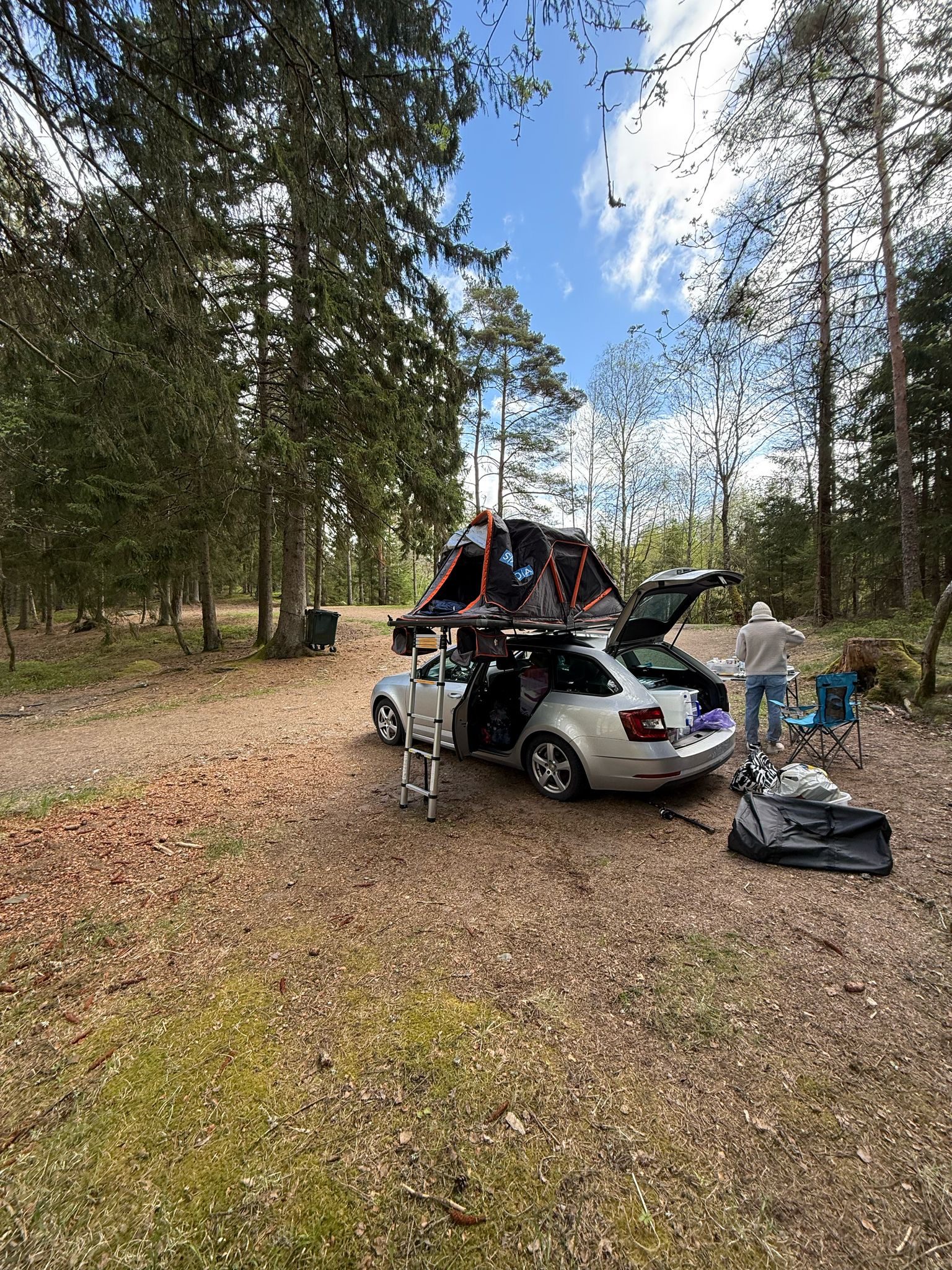
We’ve driven a lot of Scandinavian roads over the years — Norway’s scenic routes, Finland’s empty E8, Sweden’s King’s Highway. But the Vildmarksvagen (literally “the Wilderness Road”) sat on our list for two summers before we finally tackled it. When we did, it became one of the most unexpectedly rewarding drives we’ve done in the Nordics.
It’s not dramatic in the way Norway is dramatic. There are no fjords, no vertiginous switchbacks, no famous Instagram arches. What the Vildmarksvagen gives you instead is something rarer: genuine remoteness, kilometre after kilometre of birch and pine wilderness, mirror lakes that have almost no tourism infrastructure around them, and the feeling that you’ve wandered somewhere Sweden hasn’t curated for visitors yet. From our Rovaniemi base we’ve crossed into Swedish Lapland more times than we can count — the wilderness road is a natural extension of the same landscape we call home.
Yes, the Vildmarksvagen is worth it — if you come with the right expectations. It’s a 500+ km loop through Sweden’s emptiest county, best driven in two to three days with a base in Åre, Östersund, or Strömsund. Go in late June to mid-August for open roads and long light; avoid without an off-road-capable car if it’s been rainy.
What is the Vildmarksvagen — and why does almost nobody know about it?
The basics
The Vildmarksvagen is an unofficial scenic driving route in Jämtland County, central Sweden. It’s not a single named road but rather a loop of around 500–560 km that winds through the Scandinavian Mountains foothills, passing Strömsund, Ånn, Glöte, and back south through Järpen. Parts of it follow Road 45 (sometimes called “the King’s Road” in Sweden) and Road 340 through terrain that feels more like northern Finland than the Sweden most tourists picture.
The route passes through one of Europe’s largest contiguous wilderness areas. Population density in Jämtland is about 3 people per square kilometre. You will drive through villages of 80 people and feel like a genuine explorer, not a tourist following signposts.
Why it flies under the radar
Sweden’s tourism marketing leans heavily on Stockholm, Gothenburg, and the Kungsleden hiking trail. The Vildmarksvagen doesn’t have a lobbying organisation, a Michelin-starred restaurant midway, or a single iconic photograph that goes viral. That is exactly why we love it. The travellers we met on the road were overwhelmingly Swedish — a handful of retired couples in converted vans, a few Norwegians who crossed the border for the fishing. No tour buses. No ticket queues.
Planning the Vildmarksvagen step by step
When to go
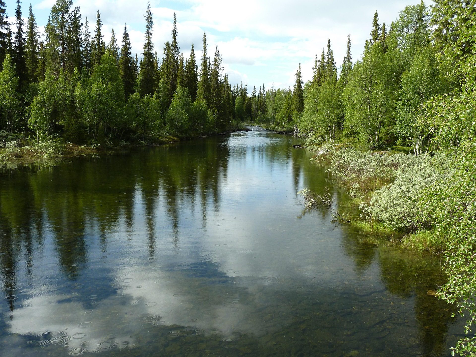
The Vildmarksvagen is most accessible from mid-June to mid-September. Before June, some of the smaller side roads can still have snow, especially above 600 m. After September, early snowfall is possible and some accommodation closes. The sweet spot for us was late June to late July: the days are almost endlessly long (you’re at roughly 63–65°N), the birch forests are intensely green, and the lakes are warm enough to swim in.
If you visit in early June, expect some insects — the mosquitoes in Jämtland’s wetlands are real, especially near still water. Bring a head net if you plan to stop and walk. By July they calm significantly.
What kind of car do you need?
You do not need a 4×4 in normal summer conditions. We drove a standard Skoda Octavia and had zero problems. However, a few sections of Road 340 near Ånn become rough after heavy rain, and there are some gravel stretches on the loop where a higher ground clearance helps. A regular estate or hatchback is fine in dry conditions; in a wet season, AWD gives peace of mind.
Petrol stations are sparse. Fill up in Östersund, Åre, or Strömsund before heading into the emptiest sections. We recommend never letting the tank drop below a third.
How many days?
- 2 days (minimum): possible but rushed. You’ll drive the loop but have little time to stop.
- 3 days (recommended): lets you overnight in Strömsund and a forest cabin, swim in a lake, and drive without pressure.
- 4–5 days (ideal): adds a day hike, a canoe trip on one of the lakes, or a side trip into the mountains near Ånn.
Related read Planning a bigger Scandinavian loop? Our Swedish Road Trip: Stockholm to the Arctic covers the full north-south route and fits the Vildmarksvagen in as a two-day detour.
Your Vildmarksvagen quick-reference checklist
Here are the eight things we’d tell any first-timer driving this route — save this or screenshot it before you set off.
- Fill up in Östersund or Åre — petrol stations thin out dramatically past Strömsund; never run below a third of a tank.
- Download offline maps — Google Maps or Maps.me; mobile signal disappears for long stretches between Strömsund and Ånn.
- Book accommodation 2–3 weeks ahead — there are very few beds along the route; STF cabins and lake-side cottages book out in July.
- Bring mosquito repellent — DEET or equivalent; near wetlands in June the insects can be intense.
- Pack a swimsuit — several of the lakes have small sandy beaches or smooth rocks perfect for a wild swim; water can reach 18–20°C in July.
- Carry cash — a few of the farm stalls and small cafés don’t reliably accept cards.
- Respect Everyman’s Right (Allemansratt) — wild camping is legal in Sweden; pitch your tent anywhere you like as long as you stay at least 150 m from the nearest house.
- Check Road 340 conditions — the Trafikverket (Swedish Transport Administration) website lists road closures and surface conditions; worth checking the morning you plan to drive the gravel sections.
Nordic road trip ideas, every two weeks
We live on the Arctic Circle. We drive a lot of empty northern roads. Let us send the good ones straight to your inbox.
Best stops on the Vildmarksvagen — what we actually did
Tips and what’s worth your time
- Strömsund: a genuine small Swedish town with a good supermarket, a harbour on the lake, and the Strömsund Bridge which gives a classic view north into the wilderness. Good base for night one.
- Björkvattnet: one of the most isolated villages in Sweden, with a famous old hotel that does traditional lunches. Worth a coffee stop even if you’re not staying.
- Ankarvattnet & Fläsjön lakes: the string of lakes around Road 340 north of Strömsund offer exceptional wild swimming. We stopped at Fläsjön twice.
- Ånn: a small ski resort that in summer becomes a hiking trailhead. The surrounding fells give a taste of high-altitude Swedish mountain scenery without the Kungsleden crowds.
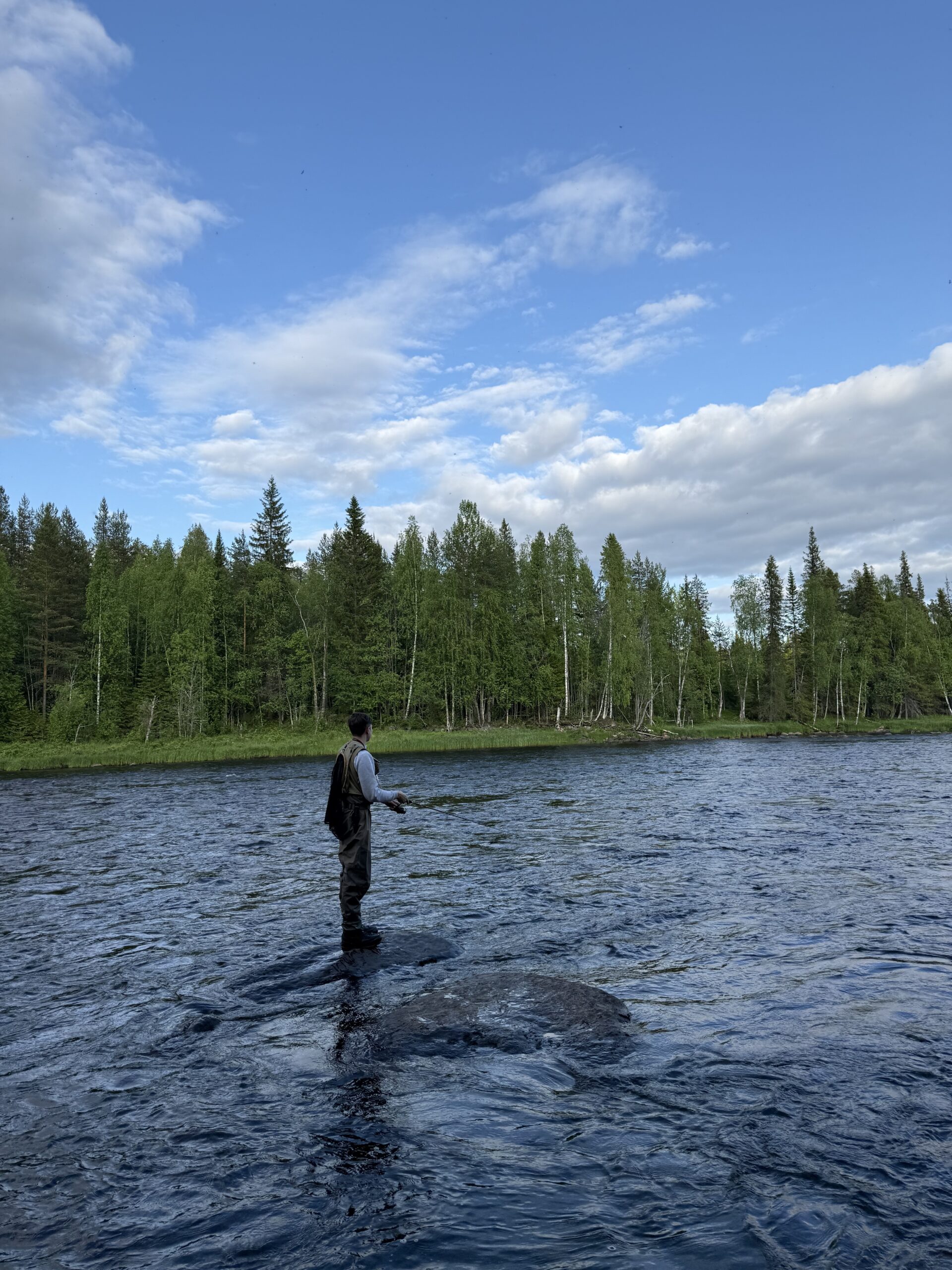
- Järpen: the southern gateway of the loop, and a good stop for elk watching in the early morning. The river here is famous for fishing.
- Kallsjön lake: an enormous mirror lake you skirt on the southern return leg — on a calm evening it looks like something from a dream, perfectly reflecting the surrounding fells.
Vildmarksvagen vs other Nordic wilderness drives
- Vildmarksvagen vs Norwegian Scenic Routes: Norway’s 18 official scenic routes are curated, well-signposted, and come with award-winning rest stops. The Vildmarksvagen is rawer and less choreographed — better for people who find Norway’s tourist infrastructure almost too polished.
- Vildmarksvagen vs Kungsleden: Kungsleden is a hiking trail, not a road. If you want to walk through Swedish wilderness, Kungsleden is the classic. If you want to drive through it (and swim, camp, and cover ground), the Vildmarksvagen is your answer.
- Vildmarksvagen vs Swedish Lapland (E45 north): The E45 north of Östersund is the main artery to Swedish Lapland — faster, better-serviced, more direct. The Vildmarksvagen loops off that artery and gives you the same landscape at a tenth of the traffic.
- Vildmarksvagen vs Rallarvegen (Norway): The Rallarvegen is iconic but extremely popular, especially for cyclists. The Vildmarksvagen is its quiet Swedish counterpart — comparable scenery, far fewer people.
- Vildmarksvagen vs Finland’s Route 21: Finland’s River Road follows the Tornio river north into the Arctic. Both are flat, forested, and remote. Sweden’s route has more lakes; Finland’s has more reindeer. We love both.
Related read Curious how Swedish Lapland compares to Finnish Lapland? Our Swedish Lapland Road Trip covers the full northern loop through Arvidsjaur, Jokkmokk, and the midnight-sun coast.
Mistakes we made on the Vildmarksvagen — and what we learned
- We didn’t book accommodation far enough ahead. In mid-July, the STF cabin at Björkvattnet was full. We ended up wild camping, which was wonderful, but having the option would have been nice. Book anything with a roof at least three weeks out for July.
- We underestimated the driving time. The loop looks manageable on a map, but the roads are windy and there are countless “just one more swim stop” moments. Add 30–40% more time than Google Maps suggests.
- We ran low on petrol once. The section from Strömsund north to Ånn is genuinely long without a fuel stop. Fill up every time you see a station.
- We forgot insect repellent on day one. The lakeside meadows near Fläsjön in early July have ferocious mosquitoes at dusk. We improvised with long sleeves and a smoky fire, which worked, but repellent is simpler.
- We arrived without a camping stove. With limited restaurants on the route, having a stove opens up beautiful roadside dinner spots. The ones who had stoves had more fun — we noticed that immediately.
- We didn’t check the Trafikverket site before driving Road 340. After some heavy rain earlier in the week, a short gravel section was rutted. Passable but uncomfortable in our low-clearance car. Five minutes of research beforehand would have confirmed it was fine.
Vildmarksvagen FAQ
Is the Vildmarksvagen suitable for a standard rental car?
In dry summer conditions, yes — a standard hatchback or estate handles the route without issues. Some gravel sections near Ånn and Road 340 north of Strömsund can become rough after heavy rain, so check Trafikverket conditions if the weather has been wet. In those situations, AWD or a high-clearance car is more comfortable, but not strictly necessary.
How long is the full Vildmarksvagen loop?
The core loop — from Östersund or Åre, north through Strömsund to Ånn, then south via Järpen — is roughly 500–560 km depending on exactly which roads you take and how many side spurs you add. Allow two full driving days, or three if you want time to hike, swim, and stop properly.
Can you wild camp along the Vildmarksvagen?
Absolutely. Sweden’s Allemansratt (Everyman’s Right) allows camping anywhere in nature as long as you stay at least 150 m from the nearest house, don’t damage the land, and leave no trace. The Vildmarksvagen is surrounded by suitable land. Some of the lake shores have well-established informal camping spots with fire rings.
What’s the best time of year to drive the Vildmarksvagen?
Late June to mid-August is the sweet spot: roads are fully open, the birch forests are at peak green, lake temperatures are swimable, and the near-midnight sun gives you spectacular evening light. Early June can be chilly and buggy. September turns the forests spectacular gold but some accommodation closes and early snow is possible above 600 m.
Are there restaurants and shops on the route?
Services are sparse. Strömsund has a full supermarket and a couple of restaurants. Björkvattnet has a famous old hotel with a lunch restaurant. Beyond that, expect farm stalls, a few kiosks, and very little else. We strongly recommend stocking up in Östersund or Åre before the loop and carrying food for at least one self-cooked meal per day.
Is the Vildmarksvagen worth the detour from Stockholm?
Östersund — the natural gateway to the route — is about 4.5 hours by train from Stockholm or 6 hours by car. If you’re specifically coming from Stockholm just for the drive, the journey there and back is significant. We’d recommend it as part of a longer Swedish road trip north, rather than a standalone weekend trip from the capital. If you’re already in Jämtland, it’s an absolute must-do.
A final word from Rovaniemi
We live on the Arctic Circle in Finnish Lapland and we spend a lot of time driving roads that most tourists never find. The Vildmarksvagen belongs in that category — and honestly, we’re a little reluctant to shout too loudly about it, because part of its beauty is its emptiness.
But here’s the thing: the Nordics are big. Even if this article brings a few hundred more people each summer to Jämtland’s wilderness, the road can absorb them easily. The landscape is vast enough. What it needs is people who drive it respectfully — who camp cleanly, who swim in the lakes without disturbing the silence, who stop their car when they see an elk instead of revving past.
If that’s you, the Vildmarksvagen will be one of the best drives of your life. It’s not Norway-dramatic. It’s not Instagram-famous. It’s just Sweden in its rawest form — and some days that’s exactly what you need.
— Joona & Alla, writing from Finnish Lapland
Joona & Alla
We’re a Finnish-Ukrainian couple based in Rovaniemi, Finnish Lapland — right on the Arctic Circle. Joona works in destination marketing for Lapland; Alla is a content creator and AI enthusiast. Together we’ve visited 25 countries and driven thousands of kilometres of Nordic roads. We started Hungry Travel Family to share the trips that actually changed us — honest, first-hand, and always hungry for more.
Read our story →